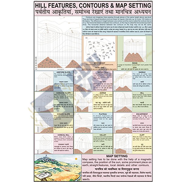
Hill Features, Contours and Map Setting Chart Manufacturer,Supplier and Exporter in India
Product Code : EL-GC-10144
Quick Answer: The Hill Features, Contours and Map Setting Chart is a 50 x 75 cm laminated chart on hill features, contour lines and setting a map, with English and Hindi text.
Last updated: October 2026
Key Features
Topics: hill features, contours and map setting.
Map-work chart of 50 x 75 cm in laminated paper.
Multicolour print, 80 gsm map litho paper, hot-seal polyester film both sides.
Fitted with plastic rollers along the top and bottom.
Text in English and Hindi combined.
Technical Specifications
Specification
Value
Size
50 x 75 cm
Material
Laminated paper
Paper
Map litho paper, 80 gsm
Printing
Multicolour
Lamination
Hot-seal polyester film, both sides
Rollers
Plastic, at top and bottom
Language
English and Hindi combined
About This Product
The chart groups hill features, contours and map setting, the topics students need before they read a topographical sheet in the field. It is handy before a map-reading walk or a survey of the school grounds. The Hill Features, Contours and Map Setting Chart can be dispatched from India to North Macedonia, Republic of the Congo, Malta, Bolivia and Bahamas.
Frequently Asked Questions
How is the Hill Features, Contours and Map Setting Chart hung?
From plastic rollers fitted along its top and bottom edges.